DTM 3650™ Digital Terrain Mapping
Give your operators precise guidance, so they can dig exactly where it’s needed.
Reliable and accurate Lidar technology reduces dig to plan errors before moving your dragline.
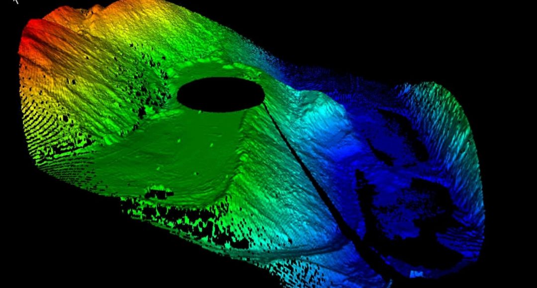
How Digital Terrain Mapping Works
DTM 3650 uses Lidar and a GPS receiver on the dragline boom to scan the ground and accurately pinpoint the machine’s location.
Lidar is a remote sensing technology that uses light to detect shapes and objects from a distance. It produces highly detailed images even in low lighting, making it well suited to mining applications.
Product Features
OEM-Agnostic
DTM 3650 works with any dragline make and model, so your entire fleet can benefit from digital terrain mapping.
Real-Time 3D Map
Operators will always know where to dig with a continuously updated, adaptive 3D map of the surrounding terrain.
99% Up time
Mining operations never stop and neither does DTM 3650.
More Productive Digging
Save time and fuel by directing operators to position machines with confidence, avoiding unnecessary dragline repositioning.
Minimize Rehandle
Some level of rehandle (when overburden is handled more than once) is inevitable, but proper planning can minimize it, increasing productivity and profits.
A Safer Pit
By relying on DTM 3650’s accurate digital terrain mapping, you can minimize surveyors in the pit, keeping them out of harm’s way.
Our door is always open
Get in touch to start the conversation
We thrive on building collaborative partnerships with the world’s best miners.
If that sounds like you, we’d love to talk.
Contact Us
Fill out the form to get the ball rolling.
Explore Related Solutions
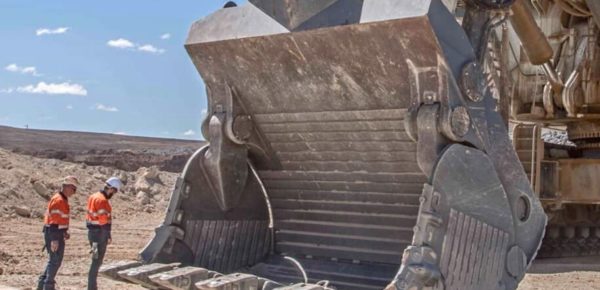
Stingray & RazerEdge Excavator Lips
Cast lips engineered to make mining excavators from 100t to 1000+ prolifically productive.
Discover more →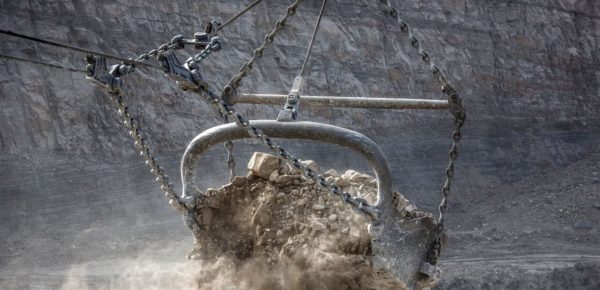
Hurricane Dragline Buckets
Maximize payload cycles with dragline buckets engineered to fill and empty faster.
Discover more →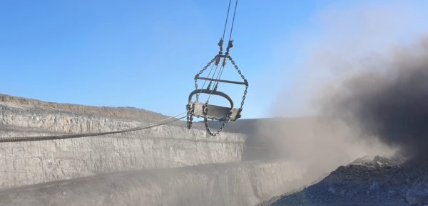
Dragline Rigging
Reduce unscheduled down time and maximize payload potential with our wide range of dragline chain and rigging.
Discover more →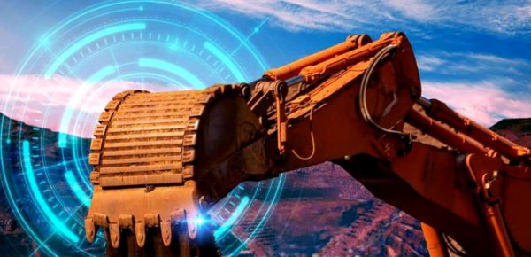
GET Trakka GET Loss Detection
Immediate GET loss alarms and the ability to locate lost components on the ground.
Discover more →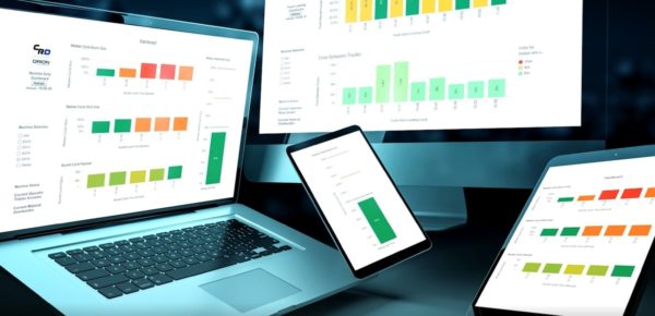
Orion Data Analytics
Get actionable insights to take your mining productivity to the next level.
Discover more →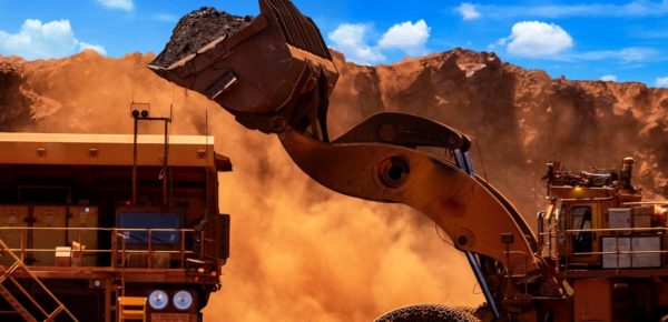
Titan 3330 Payload Monitoring
Give your operators the tools to consistently fill buckets and trucks to target payloads.
Discover more →